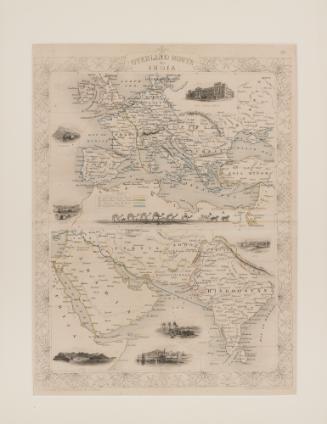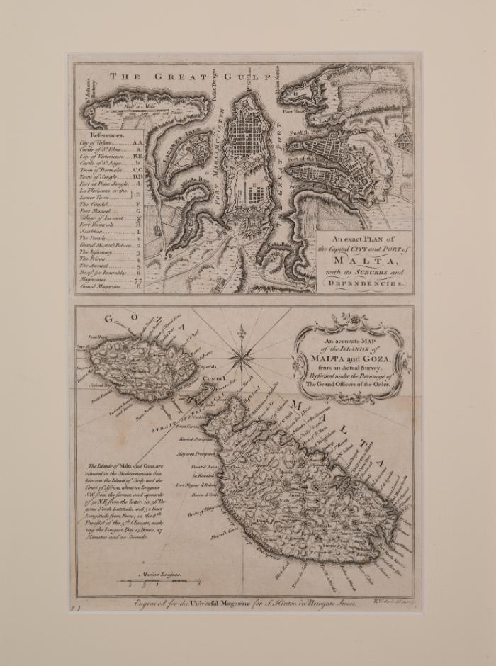
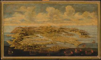
An Exact Plan of the Capital City and Port of Malta, with its Suburbs and Dependencies and An accurate Map of the Islands of Malta and Goza
Engraver
R. W. Seale
Publisher
I. Hinton / Universal Magazine
Date1761
Classification(s)
Object TypeEngraving
LanguageEnglish
Registration NumberMMM 004977
InscriptionsOn recto, as part of the print various inscriptions are present including titles "An exact PLAN of the Capital City and Port of Malta with its Suburbs and Dependencies" and "An accurate Map of the Islands of Malta and Goza, from an Actual Survey, Performed under the Patronage of The Grand Officers of the Order". On the second map, a note reads "The Islands of Malta and Goza are situated in the Mediterranean Sea, between the Island of Sicily and the Coast of Africa, about 20 Leagues S.W. from the former, and upwards of 50 N.E. from the latter, in 36 Degrees North Latitude, and 32 East Longitude from Ferro; in the 8th. Parallel of the 5th Climate, making the Longest Day 14 Hours, 27 Minutes and 20 Seconds". Underneath the images, out of border it reads "Engraved for the Universal Magazine for I. Hinton in Newgate Street." and in smaller font "R.W. Seale del. et. sculp." A number is present at the bottom, left-hand corner, however it is covered by the framing passepartout. Other inscriptions include a References legend and the names of towns and harbours on the maps themselves. On verso, a modern laminated printed note "Exact plan of the Capital City & Port of Malta Accurate Map of Malta & Gozo Author: R.W. Seal Engraving 20.3 x 30 cm Published: I. Hinton, London, 1761. Here are represented a plan of Valletta and its harbours and a map of Malta drawn and engraved by the British cartographer R.W. Seal in 1761 and published in the Universal Magazine of Newgate Street, London. [Heritage Malta; Malta Maritime Museum, Vittoriosa].Dimensions36.5 x 34.4cm (framed); 30 x 20.3cm (unframed)Alternate ID Numbers
- EEA Norway Grant EEA.2124
- HM Object Number 84858
- Inventory Card 50459-60
Public Access
Not on viewMuseumMalta Maritime Museum
Location
- Reserve Collection
MMM 000944
ca. 1870
Art / Prints

MMPHOT 8574
September 1930 - December 1930
Photography
MMPHOT-002732
Photography