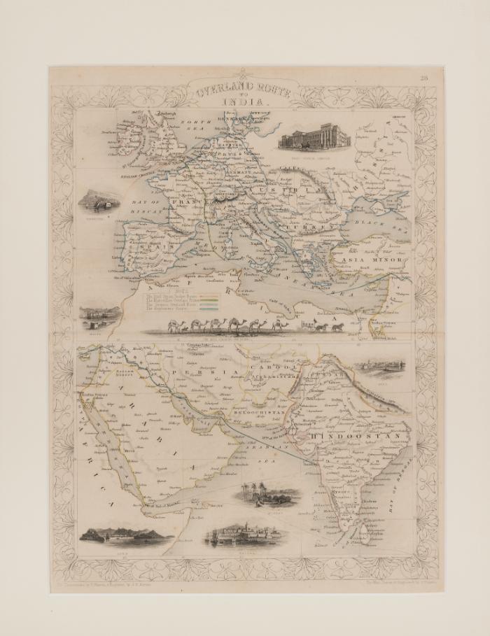
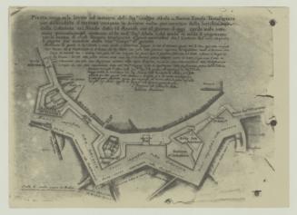
Overland route to India Map
Artist
John Rapkin
Classification(s)
Object TypeEngraving
Registration NumberMMM 001047
InscriptionsOn verso, printed note "The Overland Rout to India Author: J. Rapkin Engraving: 49 x 40.5 cm Published: John Tallis, London, 1851. This attractive map enhanced by miniature vignettes of ports of call, including Malta, graphically illustrate major land and sea routs linking Britain to India. It was lifted from The illustrated Atlas and modern history of the world geographical, political, commercial, & statistical edited by R. Montgomery Martin. [Heritage Malta: Malta Maritime Museum, Vittoriosa].TechniqueEngraving
Dimensions39 x 50.4cm (framed); 34.5 x 26.5cm (unframed)Alternate ID Numbers
- EEA Norway Grant EEA.2008
- Inventory Card 20111-2
- HM Object Number 83571
- Register Book Number 1109
Public Access
Not on viewMuseumMalta Maritime Museum
Location
- Reserve Collection
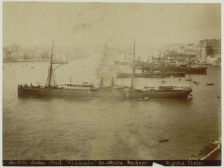
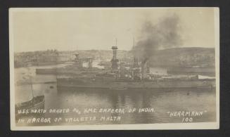
MMPHOT 7745
ca. 1919-1922
Photography

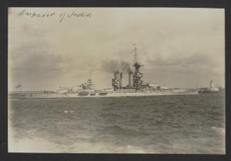
MMPHOT 7776
ca. 1919-1922
Photography
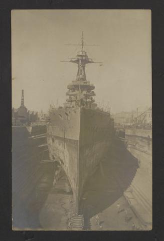
MMPHOT 7779
ca. 1919-1922
Photography